Seen Southeast Asia From a Bird’s Eye? Try an Astronaut’s Lens


Southeast Asian countries and their capital cities. Google Maps.
Visit the public domain digital collections of the National Aeronautics and Space Administration (NASA) and you'll find photographs of capital cities taken by astronauts while flying above Earth. The images are available on the website “Gateway to Astronaut Photography of Earth.”
Every capital has a popular landmark or tourism icon that makes it unique. Viewed from orbit, the geographical features of many cities become even more prominent.
Southeast Asia’s capital cities are among the most photographed and famous destinations in the world. But what do they look like from space? Let’s take a virtual tour of these cities using the photos taken by astronauts:

The Chao Praya River runs through Bangkok, Thailand. Image courtesy of the Earth Science and Remote Sensing Unit, NASA Johnson Space Center

Dili, Timor Sea, Timor-Leste. Image courtesy of the Earth Science and Remote Sensing Unit, NASA Johnson Space Center

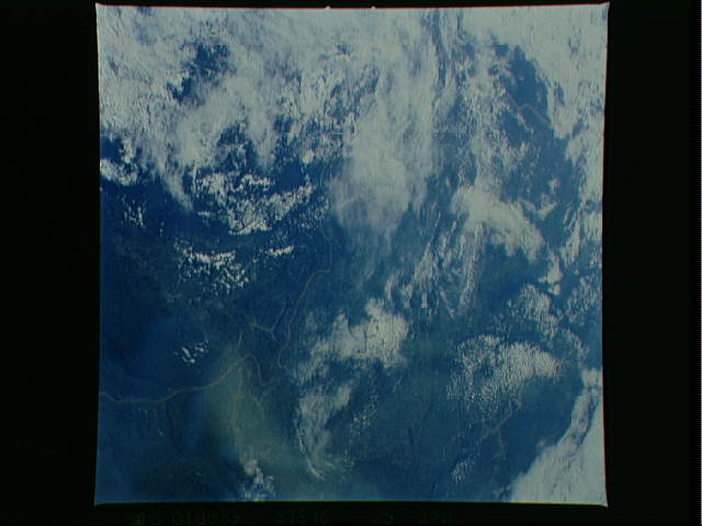
Bandar Seri Begawan, Brunei. Image courtesy of the Earth Science and Remote Sensing Unit, NASA Johnson Space Center

Selat Pandan and Sentosa Island, Singapore. Image courtesy of the Earth Science and Remote Sensing Unit, NASA Johnson Space Center

The Mekong River runs through Phnom Penh, Cambodia. Image courtesy of the Earth Science and Remote Sensing Unit, NASA Johnson Space Center

The Rangoon River and Inya Lake in Yangon, Myanmar's largest city. Image courtesy of the Earth Science and Remote Sensing Unit, NASA Johnson Space Center

Metro Manila Region, Philippines. Laguna Lake is also shown at the right side of the satellite image. Image courtesy of the Earth Science and Remote Sensing Unit, NASA Johnson Space Center

The Red River Delta, Hanoi, Vietnam. Image courtesy of the Earth Science and Remote Sensing Unit, NASA Johnson Space Center

Sultan Abdul Aziz Shah Airport, Kuala Lumpur, Malaysia. Image courtesy of the Earth Science and Remote Sensing Unit, NASA Johnson Space Center
Vientiane, Laos. Image courtesy of the Earth Science and Remote Sensing Unit, NASA Johnson Space Center

Jakarta at night, Indonesia. Image courtesy of the Earth Science and Remote Sensing Unit, NASA Johnson Space Center


2 comments